Civilsar
System for monitoring civil engineering infrastructures using SAR satellite images.
Sando has developed a system for monitoring civil engineering infrastructures using SAR satellite images. The CIVILSAR project is based on Advanced Differential Interferometric SAR (A-DInSAR), PSI or MT-DInSAR, which consists of studying the differences between two satellite images. This technology makes it possible to analyse ground deformations with great precision, covering large areas without needing prior knowledge of the area to be monitored.
Financing: The project has received financial support from the Innovation and Development Agency of Andalusia (Agencia IDEA) and the Andalusian Technological Corporation (CTA).
An incentive of 164,349.68 €, 80% co-financed by the European Union through the European Regional Development Fund (ERDF), was received from the Agency for Innovation and Development of Andalusia IDEA, of the Andalusian Regional Government, for the project “Implementation of a civil infrastructure monitoring system using satellite radar interferometry” with the aim of “Promoting technological development, innovation and quality research”. It also has private funding from the Andalusian Technological Corporation (CTA), File No. CTA: 20/1038.
Innovation
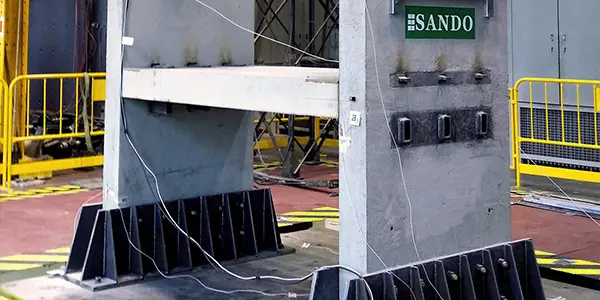
Integral building system with seismic-resistant capacity, highly industrialised thanks to prefabricated concrete panels.
Innovation
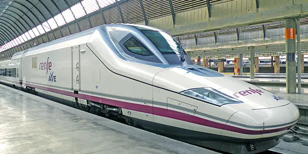
New auscultation system by using virtual sensor technology in railway vehicles.
Innovation
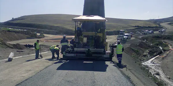
Innovative construction project that uses materials from construction waste in road pavements.
Innovation
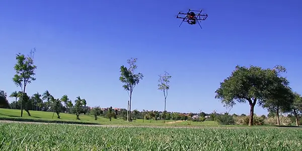
A new process for managing green spaces through sensors onboard Unmanned Aerial Vehicles (UAVs).
Innovation
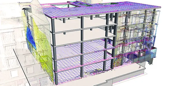
An intelligent system for the automatic application of the BIM methodology in construction.
Innovation
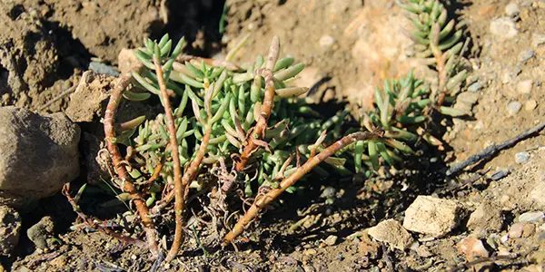
Recovery of reclaim soils degraded by construction activities using sludge from sewage treatment plants and the use of cyanobacteria.
Innovation
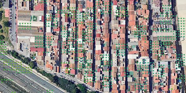
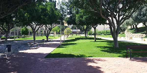
Assessment and promotion of ecosystem services provided by urban trees.
Innovation
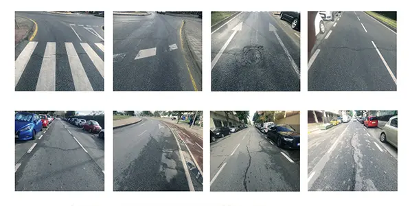
Application of Artificial Intelligence (AI) to detect pavement incidents for road maintenance.
Predictedar
Innovation
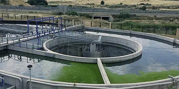
Design and development of an intelligent predictive maintenance system based on artificial intelligence tools for the critical components of urban wastewater treatment plants.