SOTER
Object Detection and Signage – SOTER
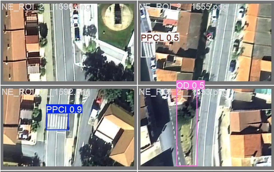
The SOTER project aims to develop an innovative methodology for the automated inspection of pavement and road conditions using Very High Resolution (VHR) satellite imagery and Artificial Intelligence. The initiative seeks to improve road safety and optimize maintenance operations by enabling the early identification of deterioration in road infrastructure, reducing the need for on-site inspections and limiting personnel exposure to risks associated with road environments.
To achieve this, the project combines advanced Earth observation techniques, deep learning algorithms, and geospatial analysis. It also incorporates georeferenced 360° imagery for result validation and the internationally recognized iRAP methodology for road safety assessment. This approach will provide more objective, scalable, and efficient tools for the management and maintenance of road infrastructure.
SOTER aims to develop models capable of automatically detecting and classifying pavement conditions from satellite imagery, facilitating the prioritization of maintenance interventions, reducing inspection costs and times, lowering accident rates, and generating geospatial inventories to support decision-making.
The solution will be validated on real road sections, integrating information obtained from satellite imagery, ground-based image acquisition campaigns, and Artificial Intelligence models specifically developed for pavement condition classification.
Project Information:
Funding: Corporación Tecnológica de Andalucía